-
Location Bageshwar & Pithoragarh
-
Duration 9 Days
-
Best Season June to October
-
Level Moderate
-
Altitude 14,200 ft.
Tour Details
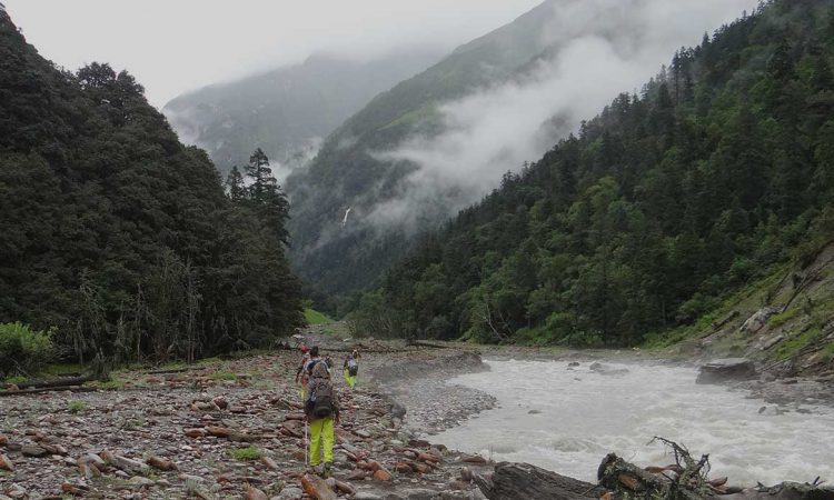
Namik is situated in the border of Bageshwar & Pithoragarh district of Uttarakhand state in India. The namik trek is situated on the Kumaon Himalayas at an altitude of 3,600 m (11,800 ft).On the trek there are two majer rivers saryu & Ram ganga east source of the Ramganga river namik glacier. The trek is surrounded by the following peaks: Nanda Devi 7,848 metres (25,748 ft), Nanda Kot 6,861 metres (22,510 ft), and Trishuli 7,120 metres (23,360 ft). Trekking start from bhadratunga Saryu valley and situated at the villages of Gogina,kimmu and Namik village.There are several waterfalls and sulphur springs originating around this trek. The trekking from Bhadratunga It is 63 kilometers from Bageshwar. Jeeps can be hired from Bageshwar or Kapkot up to shupi. Namik’ means a place where saline water springs are present.
Itinerary
Day 1
Kathgodam to Bageshwar
Day 2
Bageshwar to Gogina by jeep (Night Halt)
Day 3
Gogina to Namik Village 4 kms trek
Day 4
Namik Village to Thala 7 kms trek
Day 5
Thala to Chufuwa Top 3 kms trek and back to Thala
Day 6
Thala to Baecham 7 kms trek
Day 7
Baecham to Rurrkhan Pass (3490m height) - Khaliya Top (3650m height) 8 kms trek
Day 8
Khaliya Top to Blati Band 12 kms trek - Munsyari (Base Camp)
Day 9
Munsyari to Kathgodam